

Learning from the Marshland
Much of the Thames riverside in North Kent is characterised by marshland, as can be seen in the map of the Thames Valley from 1807.
Historically there were few defined routes across these marshes, although the 'Manorways' provided routes across Swanscombe Marshes, and one of these actually led out to a ferry across the Thames to Grays. This was used from medieval times as a pilgrim’s route to Swanscombe Church and the shrine of St Hildefirth. The ferry finally ceased operation in the mid19th century.
Click on a local precedent to find out more >
The North Kent Marsh
Much of the Thames riverside in North Kent is characterised by marshland, as can be seen in the map of the Thames Valley from 1807.
Historically there were few defined routes across these marshes, although the 'Manorways' provided routes across Swanscombe Marshes, and one of these actually led out to a ferry across the Thames to Grays. This was used from medieval times as a pilgrim’s route to Swanscombe Church and the shrine of St Hildefirth. The ferry finally ceased operation in the mid19th century.

Above: Mudge map of Kent 1807 (crop)
‘... The dark flat wilderness beyond the churchyard, intersected with dykes and mounds and gates, with scattered cattle feeding on it, was the marshes; and that the low leaden line beyond was the river; and that the distant savage lair from which the wind was rushing, was the sea...’
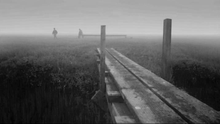
The vivid description of the Thames Marshes in Dickens’ Great Expectations is an image that has characterised this area for Centuries. This landscape although now sometimes reclaimed, was until the early 20th Century a water logged marsh typical of the East Coast - vast areas of which are now protected as vital wetland habitat.
A study of aerial images of Cliffe Marshes identifies numerous farm buildings located on islands in the marshes.
‘There was a reasonably good path now, mostly on the edge of the river, with a divergence here and there where a dyke came with a miniature windmill on it and a muddy sluice-gate.’ Great Expectations

Broadness Salt Marsh towards the Thames; Botany Marsh and Northfleet Marshes to the east & Swanscombe Marsh defined by ditches.
Great Expectations

Great Expectations

Polders / areas or reclaimed land in the Cliffe Marshes

Polders / areas or reclaimed land in the Cliffe Marshes

Swanscombe Marsh
Precedent Studies

Polders within marshland
Reclaimed marshland has a very specific landscape structure and boundary conditions. An alternative precedent for the structuring of this type of landscape can be found in the ‘Polders’ of Holland and the low countries, which provide an example of how a combination of natural and man-made landscape combine to create interesting solutions to hydrology, as well as unique environment for settlements, with defined edges, cultivated tables, drainage and particular housing typologies.

Inhabited polders in Holland Koen Althuis, waterstudionl

Kent farmhouse on a raised on a mound between Sittingbourne and Faversham

Inhabited polders
Defensive & Defined Geometrical Forms
The Thames estuary river-scape is characterised by the strategic location of a strong defensive line of forts, which provide an interesting precedent for historic built forms within the marshland landscapes.

Diagram of Thames and Medway defences
Directly across the River from Northfleet lays Tilbury Fort, which is one of the finest surviving 17th Century forts in England. The earliest version of the fort, comprising a small blockhouse with artillery covering the river, was constructed by King Henry VIII to protect London against potential attack from France. Similarly there is a block-house opposite in Gravesend, forming a strategic defensive ‘gate’ across the river.
King Charles II’s Chief Engineer, a Dutchman called Sir Bernard de Gomme, was commissioned to develop Tilbury Fort’s defences further. The result was a large, five-sided, star-shaped fort with four angular bastions, revetted in brick, with an outer curtain of defences, including two moats and a redoubt and two new gatehouses to defend the entrance from the north. The interior of the fort was raised up above the level of the marshes to prevent flooding, and barracks and other buildings were constructed inside.
The geometric formality of these forts bounded by water, could become an urban precedent for new settlements inserted into open or low lying land.

West Tilbury Blockhouse strong form / walled

Cliffe Fort, which lies to the east of Gravesend, illustrates the strong geometry of the fort in the marshland landscape on the Thames.

Tilbury Fort - 5 sided geometric form and a series of dykes and land forms

Shornemead Fort looking West back towards Gravesend and Ebbsfleet